
Find Norway's hidden gems
– completely legal.
Fricamp removes the stress. We analyze the right to roam, closed roads, and terrain, so you can enjoy the freedom.
Available in Norwegian, English and German
How Fricamp helps you
Everything you need – in one app
Adapted to your vehicle
Enter the length and equipment of your RV or campervan. We automatically remove roads that are too narrow or require 4x4.
Is it legal to park here?
Our AI analyzes the distance to buildings and cultivated land in real-time, giving you a clear «LEGAL» or «FORBIDDEN».
Plan the entire trip
Build your own route, and let the app automatically find the best wild camping spots and dump stations along the way.
Fricamp in Numbers
Over 3.3M+ data points
Real-time data from Kartverket, NVDB, Artsdatabanken, NOBIL, and public registers.
Last updated: 7/1/2026
Plan & Navigate
From idea to adventure – all in one app
Plan your trip from home and navigate safely in the field with real-time data and smart tools.
Plan the trip
Route planner with scoring
Build routes with start, end and waypoints. Get 3 alternative routes (fastest, balanced, scenic) with Fricamp score.
3D flyover of routes
Animated terrain flyover with play/pause, speed control and POI markers along the route.
Vehicle profile & Garage
Register vehicles with dimensions, equipment and terrain preferences. The app automatically filters out unsuitable roads.
Packing lists
Categorized checklists in 5 categories. Add your own items, archive and share via SMS or email.
.gif)
Animated terrain view of your route
On the road
GPS tracking & trip logging
Full background tracking with elevation profile, waypoints, speed and distance. Export as GPX.
Route navigation
Follow routes with live GPS, progress bar, deviation detection (>500m), speed, altitude and ETA.
Precipitation radar
Animated real-time precipitation radar as map overlay. See rain and snow in motion.
Offline maps
Download map tiles (topo or satellite) for a selected area. Available without internet.
Avalanche & flood warnings
Automatic warnings from NVE Varsom with danger level 1–5 for your region.
Collaboration maps
Create shared maps for group trip planning. See each other's position in real-time.

Wildlife and fishing opportunities on the map
NatureScout shows observations of 14+ species — moose, deer, roe deer, lynx, wolverine, golden eagle, ptarmigan and more — based on data from the Norwegian Biodiversity Information Centre. Separate map layer for freshwater fish and marine spawning areas.
An active community of nature lovers
Join a community that together improves the map. Write reviews, log visits, report conditions and level up.
Reviews & photos
Give star ratings, write comments and share photos and video.
Badges & levels
Earn badges by visiting places. Progress through 5 tier levels.
Condition reports
8 report types with auto-expiry after 7 days.
Share & collaborate
Share places via link, invite to collaboration maps with live position.
Latest verified spots
Ny Fricamp
Nydelig utsikt
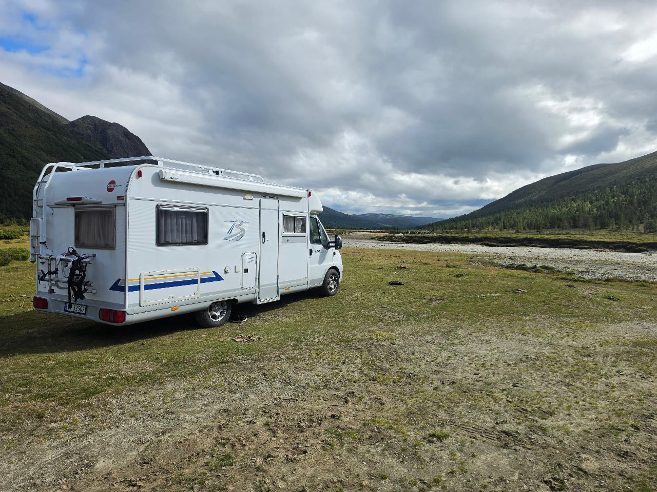
Fricamp plass
Fantastisk plass ved elva Finna. Bålplass ved elvekanten nedi ei grop så man får le fra vinden. Fantastisk utgangspunkt for turer oppi fjella eller bare ta seg en spasertur langs elva eller på veien.
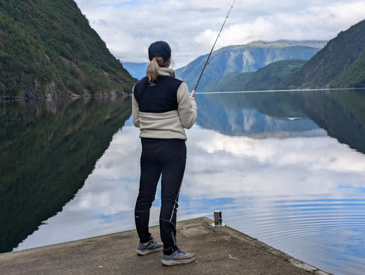
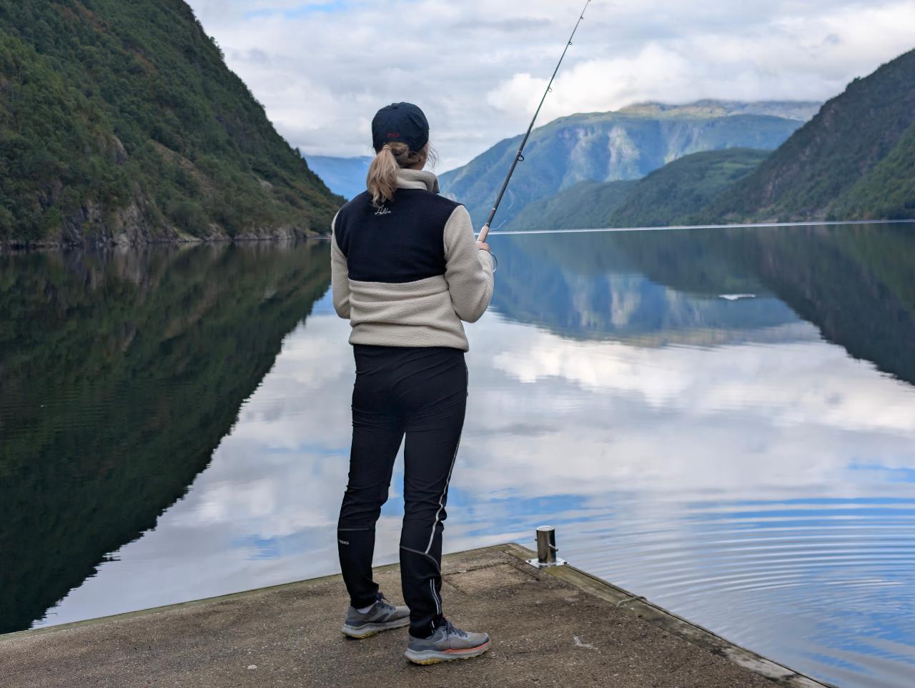
Ny Fricamp
Flott utsikt av fjorden.
Pricing
Choose your path
Fricamp Gratis
- Topographic map (Kartverket)
- Add & find camping spots (12 categories)
- Reviews with photos & video
- Log visits & earn badges
- Winter-closed roads, barriers & mountain roads
- Rest areas, EV chargers & bathing places
- Crowdsourced condition reports
- Packing lists
- Vehicle profile (1 vehicle)
Fricamp Supporter
- Everything in Free, plus:
- Satellite maps & Google Hybrid
- Hiking trails (GeoNorge)
- Real-time precipitation radar
- Property boundaries (Cadastral)
- Offline map downloads
- GPS tracking & trip recording
- Route planner with scoring
- 3D route flyover
- Route following with live GPS
- GPX download & sharing
- Wildlife observations (Artsdatabanken)
- Fishing opportunities (freshwater & marine)
- Webcams (traffic)
- Dump stations (grey water/septic)
- Coastal harbors & quays
- Collaborative maps with live location
- Drawing tools (lines & areas)
- Content folders & sharing
- Push notifications with county filter
Easy payment
How many spots you get in your country
Fricamp is live in Norway, Sweden, Denmark and Finland. The numbers below are spots you can open in the app today — not map-layer data points.
Iceland is next. Figures updated 8/29/2026.
Open the map and see for yourselfEverything you need to know about wild camping
Answers to the most common questions about wild camping in Norway, the right to roam, and the Fricamp app.
Ready to avoid the queues at the campsites?
Download Fricamp for free and find your next sanctuary in Norwegian nature. Available for iOS and Android.
Or try the web app